Craving mornings on the sand, sunset walks on a boardwalk, or a quiet street steps from the Sound? If you are exploring Milford’s 06460 shoreline, you have options that fit each version of coastal living. This guide breaks down how each beach pocket feels, how you get to the water, what homes you tend to find, and the flood and insurance checks to run before you buy. You will leave with a clear short list and a practical checklist to make your search smoother. Let’s dive in.
How Milford’s coast is laid out
Milford’s shoreline stretches more than 17 miles with many public access points. The largest hubs are Silver Sands State Park and the Walnut Beach and boardwalk area, with other public beaches like Gulf Beach and Woodmont Beach anchoring neighborhood life. You can preview amenities and access points from the city’s tourism page that lists Milford beaches and parks.
Most buyers search by ZIP 06460 when they want Milford’s beach neighborhoods. Keep in mind that pricing changes quickly as you move from direct waterfront to streets set back a block or two. Use street-level comps rather than ZIP-level medians when you get serious.
Neighborhood snapshots
Silver Sands State Park and Milford Point
This western stretch feels natural and open. Dunes, a wide sand beach, and a boardwalk define the area, and the adjacent Coastal Audubon Center adds a strong birding and nature focus. It is ideal if you want the beach to feel like a park rather than a promenade.
- Access and walkability: The boardwalk links to Walnut Beach, and there is state-park parking. You will walk plenty for views and fresh air, but everyday errands usually require a car.
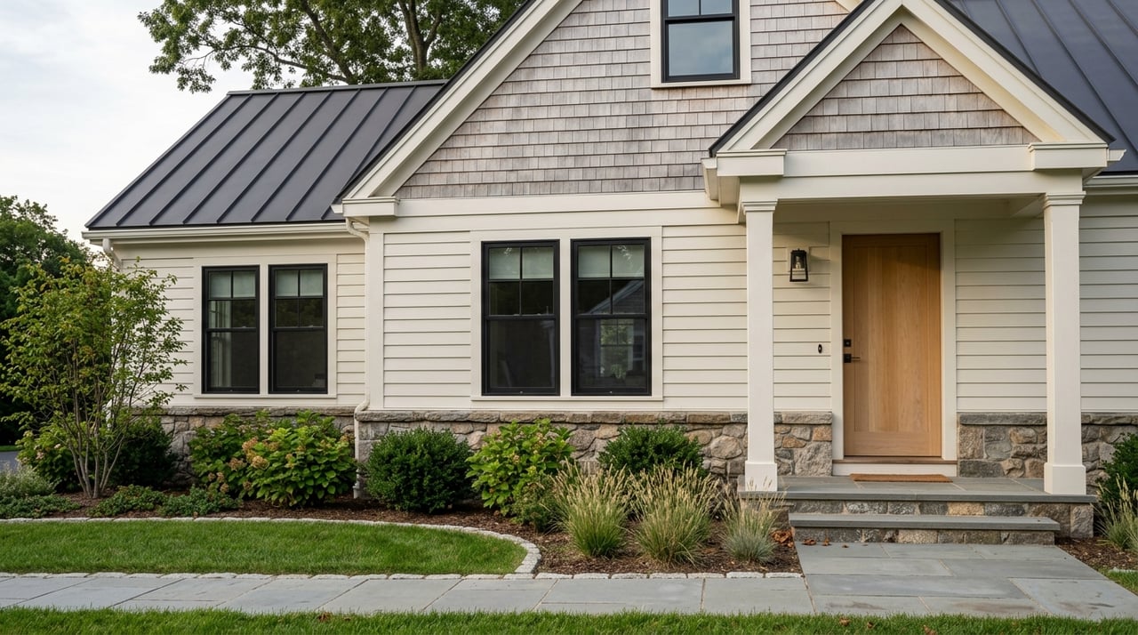
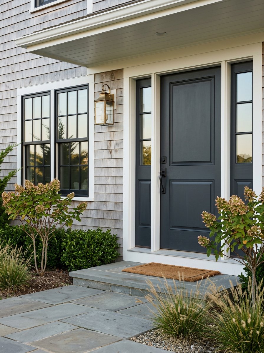
- Housing and price signals: Close to the park you will see a mix of modest cottages, seasonal rentals, and year-round homes a few streets back. Waterfront or park-adjacent properties carry noticeable premiums, while set-back homes offer a wider range of price points.
- Flood and resilience: Low elevations and barrier beach geography mean higher storm-surge exposure. Milford’s planning identifies dune and beach nourishment as likely strategies here. For any address, check FEMA and CIRCA maps to confirm zones and elevation needs. See the city’s Flood Safety information and the CIRCA Sea Level Rise & Storm Surge Viewer.
- Best for: You want easy state-park beach access, birding, and a quieter shore experience.
Walnut Beach and Devon
Walnut Beach is the lively, built-up “town beach” pocket with a mile-long boardwalk, fishing pier, and seasonal events. You will find cafes and restaurants near the water and quick trips to downtown.
- Access and walkability: Among Milford’s most walkable coastal spots. To compare neighborhood walk scores, check Walk Score’s Milford snapshot.
- Housing and price signals: Expect a mix of condo buildings and closely spaced single-family homes. Condos often cover a wide range of budgets, while detached homes near the shore trend higher, with true waterfront commanding a premium.
- Seasonal vs year-round: Mostly year-round living with strong summer activity. Seasonal parking rules and permits apply at popular beaches, summarized in regional guides like this overview of Connecticut beach access and parking.
- Flood and resilience: Dense shoreline blocks and low elevations require careful due diligence. Review Milford’s Coastal Resilience Plan and verify each parcel’s FEMA zone and any Limit of Moderate Wave Action (LIMWA) impacts.
- Best for: You want a social boardwalk vibe, easy beach walks, and quick access to dining.
Milford Harbor, Gulf Beach, Welches Point, Bayview and Port Milford
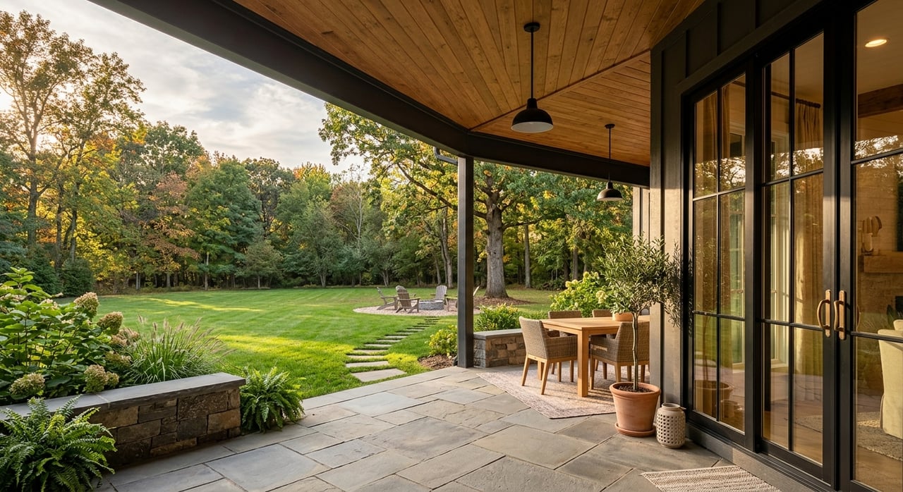
This central-east harbor area blends quiet residential streets, marinas, and small beaches, with sunset views over the harbor and Sound. If boating is on your checklist, this is a top match.
- Access and walkability: You can stroll to the pier or a marina, though you will likely drive for larger errands. Marinas such as Lisman Landing and Port Milford are local anchors highlighted in this boating profile of the area from WindCheck Magazine.
- Housing and price signals: You will see modest cottages and ranches, elevated waterfront homes, and a few small condo complexes. Pricing varies by views, elevation, and renovation level, with direct-waterfront properties at the top of the range.
- Seasonal vs year-round: Predominantly year-round with a strong boating community.
- Flood and resilience: Parts of Bayview and nearby pockets are called out in city planning as areas needing targeted floodproofing. Confirm whether a lot sits in AE or VE zones and whether LIMWA applies using FEMA and city resources.
- Best for: You want marinas, harbor scenery, and quieter coastal streets.
Pond Point, Point Beach and Morningside
These eastern fingers reach into the Sound with many homes set close to the water. Streets can feel intimate, with a mix of classic cottages and larger renovated houses.
- Housing and price signals: Street-by-street differences are sharp. Many homes trade in the mid ranges for the area, while direct-waterfront and fully renovated properties rise to the top of the market.
- Flood and resilience: These low-lying peninsular blocks are specifically named in Milford’s resilience planning for beach nourishment, floodproofing, and stricter elevation requirements for new work. Review the city’s Coastal Resilience Plan before you bid.
- Best for: You want compact shoreline living and are comfortable managing coastal exposure with elevation and insurance planning.
Woodmont, West Shore, Laurel and Wildemere
Farther west, Woodmont stands out as a distinct neighborhood with a long sand beach, parks, and a local community feel. It reads more residential and quieter compared to the boardwalk scene.
- Housing and price signals: Mostly single-family homes with some cottages and small multifamily buildings. Prices often sit below the most premium waterfront pockets, but proximity to the beach still drives value.
- Flood and resilience: Like other low-lying streets, select areas can see tidal flooding. Parcel-level verification is essential using FEMA and city maps. The city notes dune and beach maintenance as tools in some West Shore segments.
- Best for: You want regular beach access paired with a calm neighborhood setting.
Flood risk, sea-level rise and insurance
Milford identifies coastal flooding as a primary hazard, and about one-third of the city lies in mapped flood zones. Planning bodies recommend preparing for substantial sea-level rise by mid-century. CIRCA’s state scenarios use about 20 inches by 2050 for planning, which is a useful lens when you evaluate long-term exposure. Start with the city’s Flood Safety information and the full Coastal Resilience Plan to understand neighborhood differences.
Your most important step is parcel-level mapping. Use FEMA’s Flood Map Service Center to verify the official zone and request an Elevation Certificate if one exists. Then compare with the CIRCA Sea Level Rise & Storm Surge Viewer for 2050 scenarios and modeled surge layers. Together, these tools help you weigh current requirements and future planning.
If a property is in a Special Flood Hazard Area and you use federally backed financing, flood insurance is required. Premiums depend on zone type, lowest-floor elevation, and building features. Milford participates in the National Flood Insurance Program and has historically used community rating discounts that can reduce premiums. Confirm the city’s current status with your insurance broker and the city’s Flood Safety page.
Walkability and lifestyle tradeoffs
If you want a parked car weekend and easy beach days, Walnut Beach and Devon top the list for walkability. Silver Sands offers unmatched nature and dunes with boardwalk access, though daily errands usually require a drive. Harbor pockets deliver boating convenience and quieter streets, while Woodmont provides a long neighborhood beach with a calmer pace. Use Walk Score’s Milford overview to compare day-to-day walkability as you shortlist addresses.
Quick buyer checklist for coastal listings
Run these checks for any 06460 beach property before you write an offer:
- Verify the FEMA flood zone for the parcel and ask for any available Elevation Certificate. Use FEMA’s Map Service Center.
- Review the same address in the CIRCA Sea Level Rise & Storm Surge Viewer to see 2050 scenarios. Treat this as planning context, not a replacement for FEMA.
- Ask whether the street falls within the state’s LIMWA boundary or local coastal overlays. Milford’s Coastal Resilience Plan explains where added requirements may apply.
- Confirm seasonal parking rules, beach stickers, and non-resident fees for your most-used beaches. Regional summaries of Connecticut beach access and parking are a helpful starting point.
- Speak with a flood insurance broker to estimate premiums today and how elevation improvements could change costs. The city’s Flood Safety page outlines local resources.
- Pull street-level comps within a two-block radius. Waterfront premiums and elevation work can move pricing far beyond ZIP-level medians.
Match your wish list to the right pocket
- If you want boardwalk energy, restaurants, and an easy walk to the beach, focus on Walnut Beach and nearby Devon blocks.
- If you want open natural beach, dunes, and birding, explore Silver Sands and Milford Point and plan for higher water exposure.
- If you want boating and marinas, target Milford Harbor, Port Milford, and Gulf Beach pockets and confirm slip availability.
Ready to zero in on the best streets for your budget and lifestyle? Let’s build a short list, map flood zones, and compare real comps so you can bid with confidence. Connect with stacy pfannkuch and The Kasey Team to start a focused, data-backed search in Milford’s beach neighborhoods.
FAQs
What are the most walkable beach neighborhoods in Milford 06460?
- Walnut Beach and Devon are among the most walkable coastal pockets, with boardwalk access and nearby dining, while other shoreline areas are scenic but more car dependent.
How does flood insurance work for Milford coastal homes?
- If a home is in a Special Flood Hazard Area and you use federally backed financing, flood insurance is required, with premiums set by factors like zone type, elevation and building features.
Where can you verify a specific home’s flood zone in Milford?
- Use FEMA’s Flood Map Service Center for the official zone and compare with the CIRCA viewer for 2050 sea-level-rise and surge scenarios, then confirm details with the city.
Are Milford’s beach neighborhoods mostly seasonal or year-round?
- Most pockets are year-round, though areas around Silver Sands and Walnut Beach see strong summer activity and some seasonal rentals due to park and boardwalk amenities.
What price ranges should you expect near the beach in 06460?
- Prices vary widely by elevation, renovation and water proximity, with set-back homes often in mid ranges for the area and direct-waterfront or fully renovated properties reaching premium levels.